Core Business
Satellite Remote Sensing Smart Applications
Smart Vision Cloud, led by Academician Li, Deren of the Chinese Academy of Engineering, features 0.5m ultra-high-resolution imaging, multi-source data fusion and AI intelligent interpretation, forming the core foundation for digital twin cities. Widely applied in emergency management, urban planning, ecological monitoring, agricultural insurance and maritime affairs.


Hong Kong Disaster Prevention, Mitigation & Emergency Management
Building a “Full-Space” integrated emergency management system that combines satellite remote sensing early warning, drone on-site reconnaissance and material delivery, intelligent dispatching by the ground command platform, supplemented by advanced equipment such as high-pressure water cannon fire trucks, rescue transport vehicles, integrated command vehicles, intelligent firefighting robots, and multi-scenario drone systems.


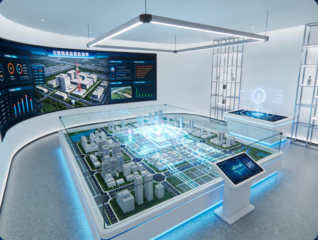
Low-Altitude Economy & Smart City Solutions
We possess a complete low-altitude industrial chain, developing drone manufacturing, UTM traffic management, logistics delivery, and hydrogen energy applications, helping Hong Kong build a globally leading low-altitude economy hub and smart city.